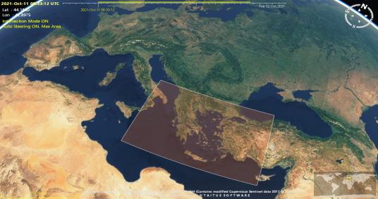
Version 2.0.7 of the EOMER 2D/3D orbit and swath visualisation tool has been released and can be downloaded here.
Release Notes are available here.
User registration is required. Please find detailed instructions here.

New Features
- Interoperability with other tools / file standards:
- Import / Export of ESOV NG Swath Control Files
- Support for Swath Definition File (fixed swath and nominal attitude sections)
- Support for CCSDS orbit files OEM, OPM, OMM
- Improvements to Report:
- Added the longitude of ascending node for each visibility pass
- Added functionality to estimate on-board recorder occupancy profiles taking into account data-takes planned and downlink plans to ground stations
- Generation of satellite-to-satellite visibility timelines and evolution viewing angles (azimuth and elevation plots), taking into account field-of-view masks
- Dedicated EOMER Help available via Eomer menu Help and online (see link)
Corrections
- Use ANX longitude and ANX MLST as driving parameters to calculate the ANX UTC time
- Report: Orbit column sorted by orbit number instead of by string
- Start-up error: “Coverage Satellite orbit not valid”
- Earth Map does not display textures
Updated Mission Configuration
- General update of mission configuration file (mission configuration update mechanism triggered by default at start-up)
