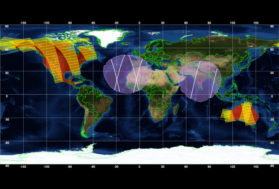
The Earth observation Swath and Orbit Visualisation tool, ESOV provides the user with the means to visualise the instrument swaths of all ESA Earth Observation Satellites and assist in understanding where and when satellite measurements are made and ground contact is possible.
The ESOV NG software is a free tool made available to any user involved in the ESA Earth Observation mission preparation. ESOV NG allows users to visualize and print Instrument swaths, Ground tracks, Zone coverages, Ground Station Visibility and to generate overpass table for generic Earth Observation LEO satellites.
ESOV is delivered with support for Envisat, ERS-1, ERS-2, Cryosat, Aeolus, SMOS, Swarm, MetOp, MetOp-SG, EarthCARE, Sentinel-1A/B, Sentinel-2A/B, Sentinel-3A/B, Sentinel-5P, Sentinel-6A, Biomass, FLEX, FORUM, CHIME, CIMR, CRISTAL, CO2M, LSTM, ROSE-L, TRUTHS and thanks to it's plug-in architecture it allows custom satellites to be added by users.
The application is available for Windows, Linux and macOS. The Software can be downloaded after registration.
For technical support, please contact the ESOV helpdesk at eop-cfi.support.tools (at) esa.int

